
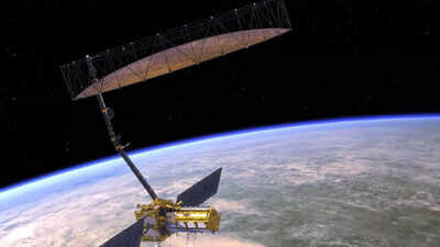
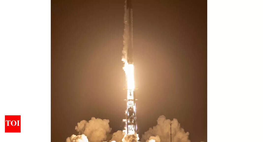
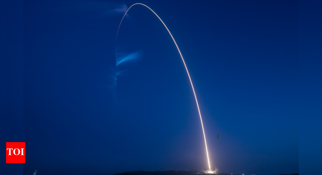
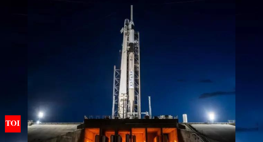
In a major joint effort, NASA and ISRO are set to launch the
NISAR satellite
, a $1.5 billion
Earth-observing mission
that could transform the way we monitor our planet. The launch is scheduled for June 18, 2025, from the Satish Dhawan Space Centre in India. NISAR, short for NASA-ISRO
Synthetic Aperture Radar
, will track changes on Earth's surface with centimeter-level precision—whether it's day or night, sunny or stormy.The satellite carries a huge 12-metre radar antenna and weighs nearly three tonnes. It's built to deliver real-time data on critical issues like farming patterns, climate shifts, earthquakes, landslides and floods. Scientists, farmers and emergency teams across the globe are expected to benefit from the mission’s insights, making NISAR one of the most anticipated Earth science projects in recent years.
Why NASA and ISRO joined hands for the NISAR mission
Most existing Earth-observing satellites depend on reflected sunlight to capture surface images, meaning they can only function in daylight and clear weather. This limits their effectiveness in cloud-covered regions like the tropics or during nighttime events. The NASA-ISRO collaboration on the
NISAR mission
aims to overcome these gaps. Using advanced radar technology, NISAR will provide round-the-clock, all-weather imaging, enabling more accurate monitoring of natural disasters, environmental changes, and agricultural patterns regardless of time or conditions.
How NISAR's radar technology makes a difference
NISAR uses synthetic aperture radar (SAR), a technology first developed for military use in the 1950s. Unlike optical imaging, SAR actively sends radar signals to Earth’s surface and captures their reflections. This works much like using a flash in a dark room. SAR can see through clouds, smoke, and even dense vegetation, making it ideal for 24/7 monitoring in all weather conditions.
Real-time disaster monitoring and response
SAR has already proven useful in tracking disasters like floods, landslides, and earthquakes. NISAR takes this a step further by offering more detailed images and dual-frequency radar. It can detect even subtle land shifts caused by disasters and help emergency teams assess damage quickly, improving response and recovery efforts.
Looking inside forests and wetlands
NISAR’s radar can penetrate thick vegetation, allowing scientists to study the structure of forests and wetlands in new detail. It will measure how much biomass and carbon forests hold and detect flooded vegetation, giving insights into ecosystems that store vast amounts of carbon and support biodiversity.
Global benefits for science and agriculture
The satellite’s high-resolution data will be made freely available to researchers and institutions worldwide. It will scan nearly all land and ice surfaces every 12 days, offering more frequent and sharper imaging than previous missions like Sentinel-1. For agriculture, NISAR can measure soil moisture in all conditions, helping farmers time irrigation and boost crop yields.
Tracking glaciers, coastlines, and oil spills
Beyond forests and farms, NISAR will monitor the movement of ice sheets and glaciers, which is vital for studying rising sea levels. It will also help track coastal erosion and oil spills at sea, offering tools for both environmental protection and disaster response.
A bold leap for Earth science
After more than ten years in development, the NISAR satellite is ready to offer a powerful new view of our planet. It combines cutting-edge radar with global access to help scientists, governments, and communities better understand Earth’s systems and respond to its challenges. From climate change to food security and disaster resilience, NISAR is set to play a key role in the years to come..


 English (US)